
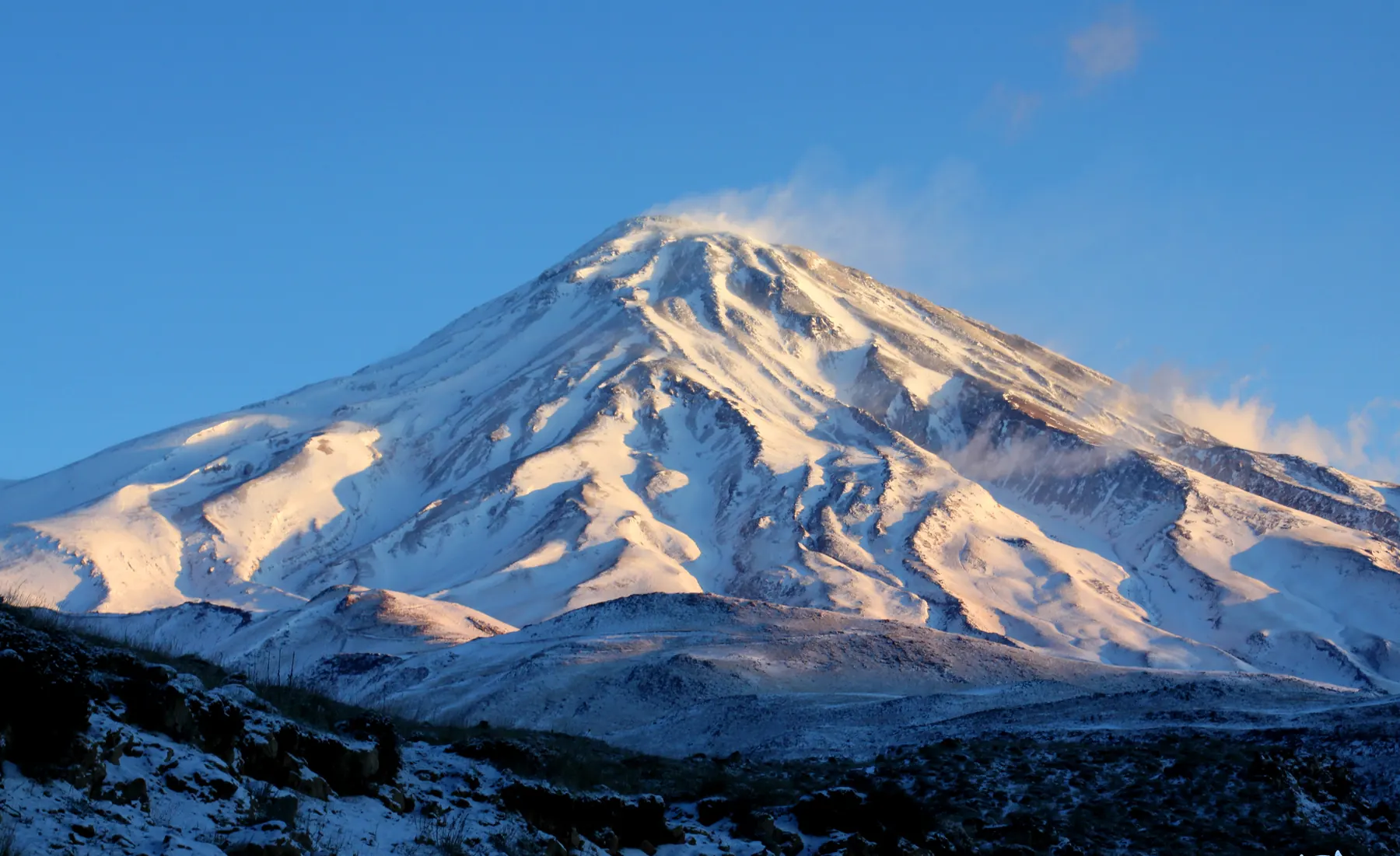
Mount Damavand stands in the central Alborz, in Mazandaran Province, south of the Caspian and northeast of Tehran. Iranian government sources, including the national e-government portal, give the elevation as 5,610 metres and describe it as the highest peak in Iran. Peakbagger lists 5,609 metres. Wikipedia records the 5,610 metre figure and notes that it is disputed, including a reading of older Iranian mapping that is higher. Use the spot height on the map you navigate with. This page does not choose a hidden “true” number.
The mountain is a dormant stratovolcano with a summit crater. Public geographic databases place the summit near 35.955° N, 52.110° E. Those coordinates are rounded and are not a substitute for a navigation map.
Geographic setting
The southern side is the aspect most often described by visiting mountaineers. The Haraz road, between Tehran and the Caspian side of the range, is the usual corridor, with Polur and Reyneh used as points of departure. Damavand is large, wind-exposed, and high enough that altitude is its own problem, separate from the skiing.
What the mountain is like
The cone is volcanic. Slopes that are snow-covered in one season turn to scree and rock as they melt. Fumaroles near the summit are part of the mountain, not a curiosity to ignore. Wind shapes the upper slopes. None of that is a route description. It is the character of the peak.
Ski mountaineering
Ski touring is undertaken on and around Damavand, including attempts on the volcano when snow connects. Neighbouring objectives in the same district are also used when the summit is out of condition. This site does not publish a line, a grade, a vertical drop, or a recommended aspect. A slope that is skiable in one spring can be ice, wind slab, or rock in another.
There is no ski-descent photograph of Damavand on this website yet. The pictures above are of the mountain itself. They are not evidence of current snow.
Terrain and technical character
A party aiming at the summit is dealing with height around the figures above, a long approach, cold, and wind. Crevasses are not the defining hazard of this volcano in the way they are on a large glacier. Cornices, wind-affected snow, and wet-snow cycles in spring are. The technical grade depends on the line and the day. It is not stated here, because stating one would pretend the mountain holds still.
Access
Confirm the road, any local registration, and any permit before you travel. Rules and fees change, and this page is not a permit office. Do not treat a driving time copied from a summer blog as a winter plan. Mountain roads on the approach close in weather.
Season
Snow belongs to winter and spring. Summit attempts on skis are often discussed for the later part of winter and for spring, when days are longer and some slopes have consolidated. That is a pattern people report, not a date you can book against. Summer ascents are a different undertaking and are outside the scope of this site.
Safety
Plan for altitude illness, wind, cold, navigation in cloud, and avalanche terrain wherever snow lies on a slope. This website does not carry an avalanche bulletin and should not be used as one. The rescue kit you carry is only useful if the party can use it. If the weather window is poor, the mountain is still there next season.
Photographs still needed
A photograph of ski mountaineering on Damavand, taken on the mountain and licensed for publication, should replace the placeholder noted on the photograph credits page. Until that exists, these frames stay what they are: views of the volcano, not of a descent.