
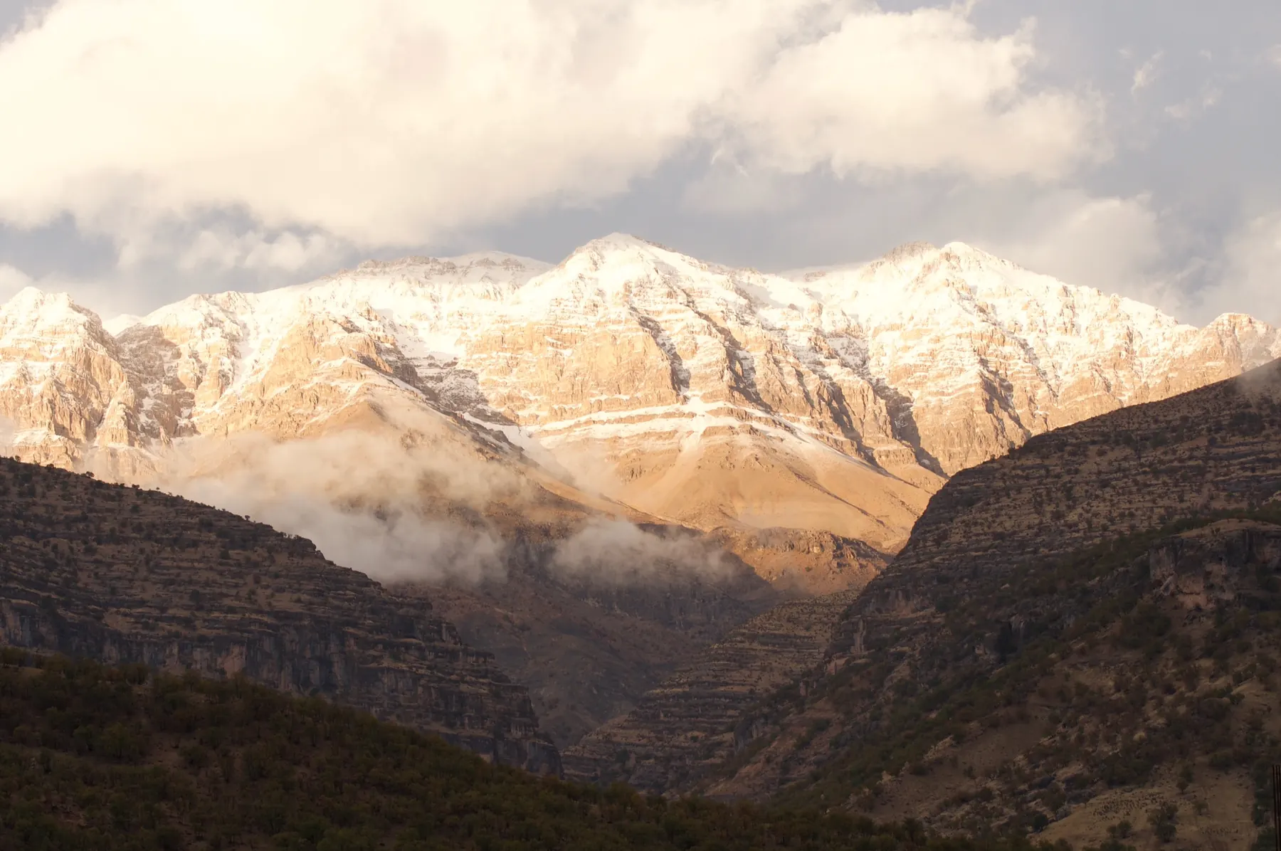
Zard Kuh, the Bakhtiari “yellow mountain”, is a sub-range of the central Zagros. Wikipedia and Peakbagger both give 4,221 metres for Kolunjin, also spelled Kolonchin, its highest summit, in Kuhrang County of Chaharmahal and Bakhtiari Province. Older compilations have disagreed by hundreds of metres. Treat 4,221 metres as the figure those two current sources share, and check the map you actually carry.
The Karun and the Zayandehrud both rise in this part of the Zagros. Small glaciers have been described on Zard Kuh. Their present size is something to confirm on the ground, not a number this site will invent. The view from Kolunjin published here shows a tarn and remnant snow, and the caption says it is not a mid-winter photograph.
Geographic setting
The crest runs for many kilometres above deep valleys, including the Bazoft. Limestone walls, long ridges, and a wide difference between the valley floor and the summits are the shape of the place. Public databases put Kolunjin near 32.364° N, 50.077° E.
What the mountain is like
In one season the crest is a snow range. In another the same gullies hold only a ribbon of snow, as in the Kolunjin photograph. The Bazoft picture is a winter valley: snow on the hillsides, a river, no ski line. Both belong on the page because they stop the range being sold as a single mood.
Ski mountaineering
Ski touring in the Kuhrang and Chelgerd country is a known practice among people who ski in the Zagros. The crest offers long approaches and terrain that is serious without looking like an alpine north face on a poster. This page does not publish a tour name, a distance, or a vertical. If you have skied a line here, the honest next step is a conversation about that year’s snow, not a grade copied from someone else’s report.
Terrain and technical character
Expect route-finding on a broad crest, cornices where the wind builds them, and valleys that are a long way below if something goes wrong. Glacier travel, where the ice is still continuous, is a different problem from skiing a snow gully. Do not assume either from a photograph.
Access
Kuhrang County is the administrative home of the highest summit. Parties often use the Kuhrang and Chelgerd area as a base and approach the Bazoft side from the west of the crest. Winter road closures are common enough to plan around. This site does not publish a driving time from Isfahan or Shahrekord, because that time is not stable.
Season
Winter and spring carry the snow. The summit photograph with dry ridges is a reminder that “Zard Kuh” and “good ski snow” are not the same sentence. Ask locally, in the season you intend to come.
Safety
The Zagros in winter is remote relative to a European resort valley. Weather, navigation, and avalanche terrain are the ordinary hazards. River crossings in valleys such as the Bazoft change with melt. Altitude is lower than Damavand and still enough to matter on a first day out of a city. No bulletin is republished here.
Photographs still needed
A ski-touring photograph from Zard Kuh itself is still missing. The credits page names the file that should hold it.