
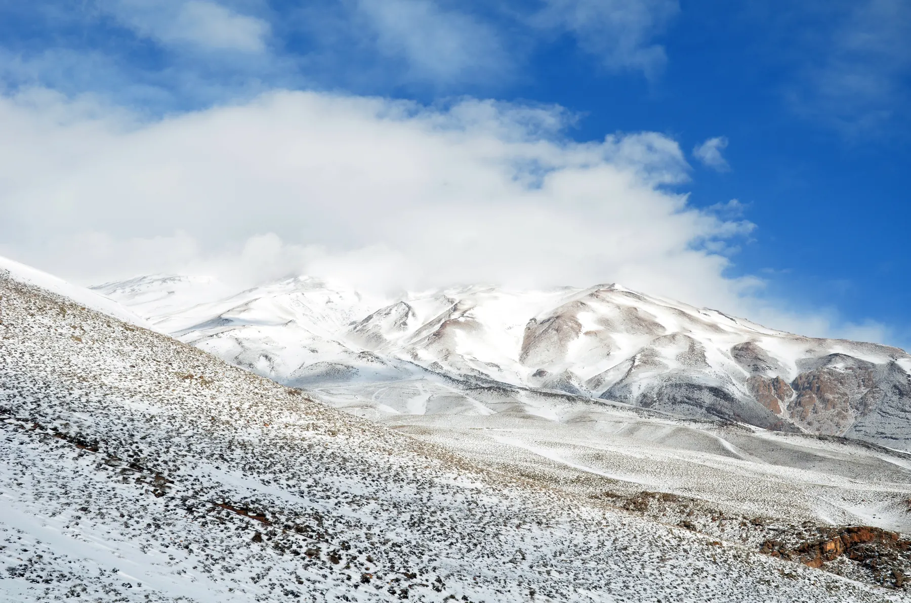

People looking for skiing in Iran often land on a resort. Resorts exist in the Alborz, and they are not the subject of this site. Ski mountaineering is the other activity: skins, unsecured snow, and a mountain that does not reset itself overnight for the next customer.
Two systems
The north of the country is walled by the Alborz, a high range between the Caspian shore and the plateau. Damavand, a dormant stratovolcano, is the summit Iranian government sources give as 5,610 metres. Alam Kuh sits further west, in the Takht-e Soleyman massif above Kelardasht, and is a rock peak with a glacier basin rather than a cone. Published heights for Alam Kuh do not agree. The destination pages keep the disagreement visible.
The Zagros is the other system, a long folded range through the west and south. Zard Kuh, in Chaharmahal and Bakhtiari, and the Dena crest, mainly in Kohgiluyeh and Boyer-Ahmad, are the objectives this site describes there. They are ridges of many summits, not single posters. Kolunjin on Zard Kuh is given as 4,221 metres by Wikipedia and Peakbagger. Qash-Mastan on Dena is published both as 4,409 metres and as 4,459 metres.
What the snow is
Winter and spring put snow on these heights. They do not put the same snow on the same slope every year, and they do not put skiable snow on a valley just because the skyline is white. Several photographs on this site are deliberately not mid-winter, so that a green valley under Dena or a dry ridge on Zard Kuh is part of the record.
No avalanche bulletin is reprinted here. A geographical introduction cannot tell you whether a slope is bonded.
How to use the rest of the site
Read one destination until the limits are clear, then the matching expedition outline, which will say that it is not a departure. If the outline still matches the trip you can actually do, the inquiry is the next step. If you wanted a piste, a hotel package, or a price list, this is the wrong website, and it is better to know that on the first page.